1
According to the passage, what was historically one of the most efficient ways to
navigate the world?
According to the passage, what was historically one of the most efficient ways to
navigate the world?
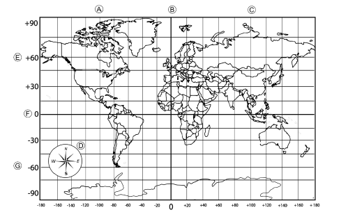
Maps are models of the earth. This points out that projections are imperfect models.
According to the passage, what was historically one of the most efficient ways to
navigate the world?
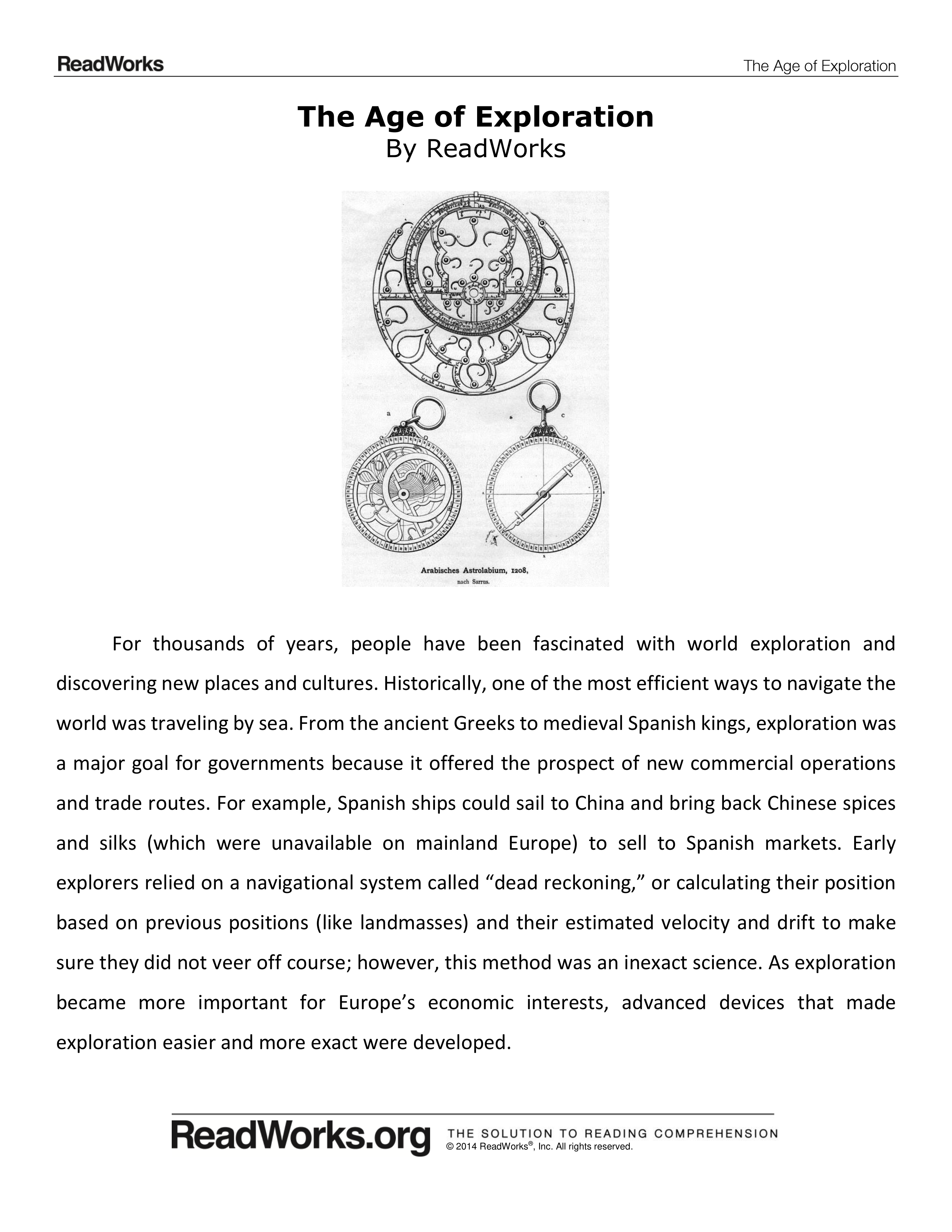
The passage lists different navigational instruments available to explorers. Which of
the following navigational instruments was not available to Christopher Columbus?
Why was exploration a major goal for governments?
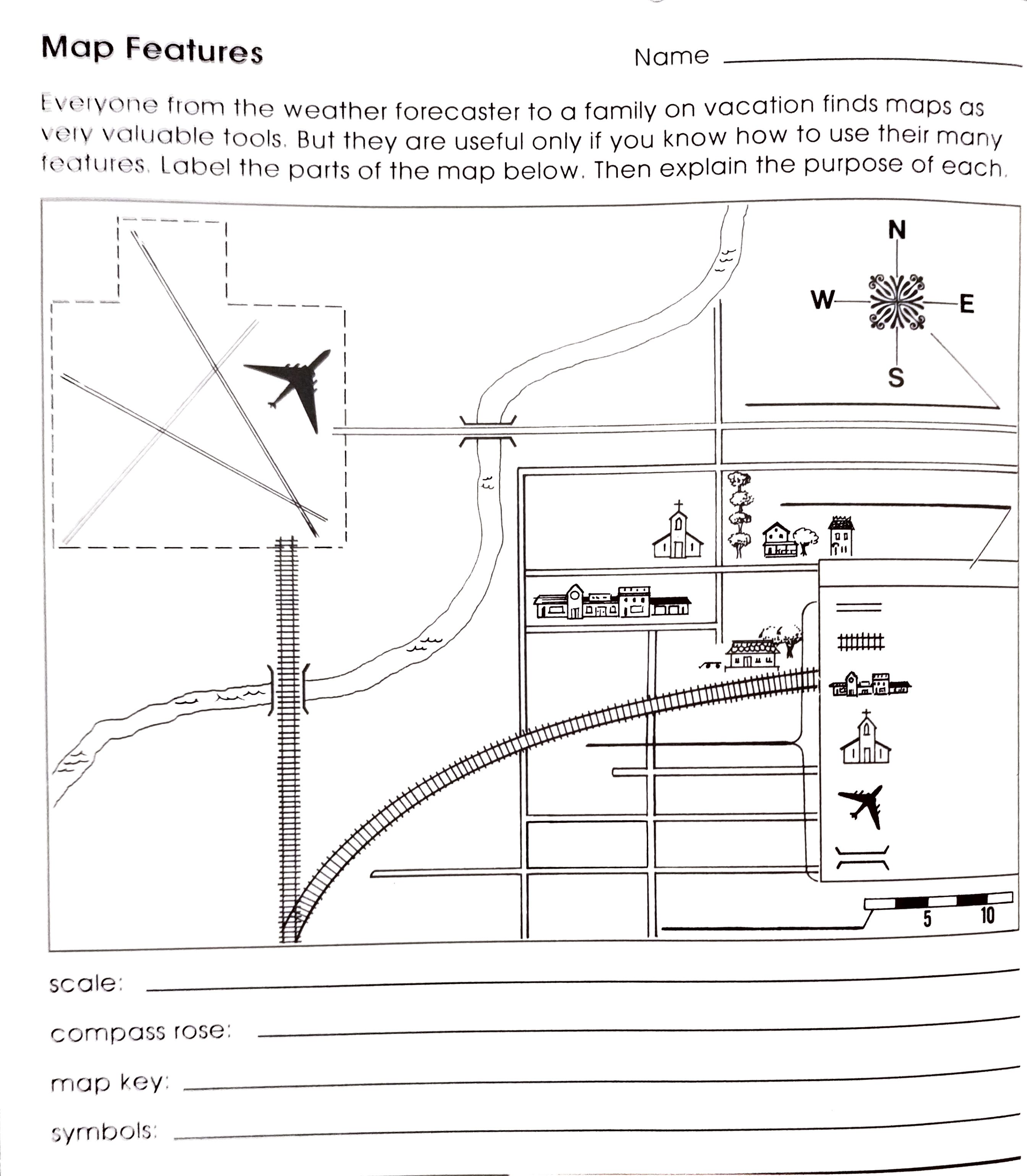
A map is an example of a ________ used by geologists.
A sphere model of the earth is a _______.
Turning the globe into a flat map is called a ______.
The map projection with all of the latitude lines appear straight and parallel.
A ______ is one half of the sphere that makes up Earth’s surface.
A ______ is a map feature that relates a distance on the map to a distance on Earth’s surface.
A ______ is a list of all of a map’s symbols.
If one centimeter on a map represents 25,000 centimeters on the ground, the scale of the map is ______.
1/360 of the way around the Earth is called what?
The _______ of the North Pole is
The imaginary line called the __________________________ runs through Greenwich, England and divides Earth into eastern and western hemispheres.
The _____________________________________________is a method of finding longitude, latitude and elevation using a system of satellites.
Limited knowledge of world geography was a problem for early exploration. What evidence from the
passage supports this conclusion?
How did navigational tools change from the 15th century to the 17th century?
What is this passage mostly about?
Read the following sentence: “Columbus’s incomplete knowledge of world geography and the imprecise
navigational devices he brought with him caused him to inadvertently discover North America and all the
rich natural resources available there.”
As used in this sentence, what does “inadvertently” mean?
Choose the answer that best completes the sentence below.
Early navigational techniques such as “dead reckoning” were imprecise; ________, exploring uncharted
seas was challenging and inconsistent.
What is this?
What is this?
What is this?
What is this?
What do you think this symbol stands for?
What does this symbol stand for?
What does this symbol stand for?
What does this symbol stand for?
What does this symbol stand for?
What does this symbol stand for?
What is this?
What is this?
What is this?
What is this?
What is this?
What is this?