Grade 8 Research Project
star
star
star
star
star
Last updated about 6 years ago
11 Nsɛmmisa
10
10
10
10
10
10
10
5
10
20
5
You are going to be studying less economically developed countries by means of a case study. You must choose 1 less economically developed country (i.e. any country in Africa, S America, Central America or most of Asia).
Research one topic at a time and type your answer in the relevant text box in goformative (below). You may NOT copy and paste at all. Use the internet, Google Earth web and Wikipedia to research your topics and acknowledge your sources of information at all times.
Your research project must be an outline of the country that provides the following information in the following order:
1. A map that shows: neighbouring countries, lines of latitude and longitude, major rivers, mountains, roads and railways. (10)
2. Paragraphs:
2.1 climate (10)
2.2. natural vegetation (10)
2.3 primary activities (farming, fishing, mining and forestry) (10)
2.4 secondary activities (manufacturing) (10)
2.5 political structure / situation (10)
2.5 tourism (10)
3. Pie chart: occupation structure (i.e. % of people involved in primary, secondary and tertiary activities. (Use exel and upload the image) (5)
4. Table of development indicators. (Use word and upload as an image) (10)
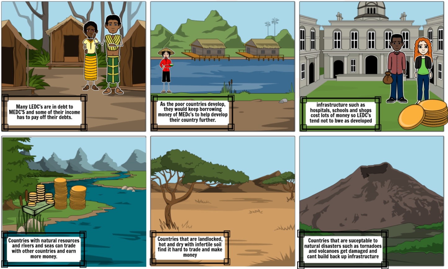
5. Conclusion: Answer the question in detail: “Why is this country poorly developed?” [ Things to consider include: natural resources, human resources, development indicators etc.] (20)
6. Bibliography: Include the URL of websites that you used to research the information. (5)
DUE DATE: Ask your teacher for the due date. It will differ from set to set.
A map that shows: neighbouring countries, lines of latitude and longitude, major rivers, mountains, roads and railways. Upload + and paste (yes, you may paste in this case) in the text block, below (10)
Climate (10)
Natural Vegetation (10)
Primary Activities (Farming, fishing, mining and forestry) [10]
Secondary activities (manufacturing) [10]
Political structure / situation (10)
Tourism (10)
Pie chart of occupational structure (paste in the text block, below) [5]
Table of development indicators. (Use word and upload as an image) (10)
Conclusion: Answer the question in detail: “Why is this country poorly developed?” [ Things to consider include: natural resources, human resources, development indicators etc.] (20)
Bibliography: Include the URL of websites that you used to research the information. (5)