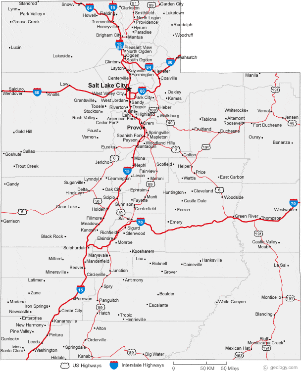
Which 5 counties have the most population?
Which 5 counties have the most population?
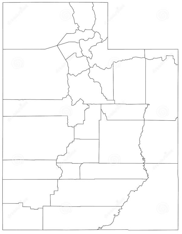
Which 5 counties have the most population?
Use this link to explore your world. Take note of the colors on the map!
Make sure you switch back and forth between basic and satellite view!
https://www.thetransportpolitic.com/transitexplorer/#11/40.6635/-111.8848
Besides the green parks, 3 other colors should be jumping out to you.
1. Purple
2. Pink
3. Grey
Assignment: List each color below with the type of buildings you believe are zoned to be in those areas. What types of economic activities happen in each area?
Exmaple:
Purple -
Pink -
Grey -
1. Purple
2. Pink
3. Grey
These are the easy colors. Tell me about other colors and pattern combinations you see. What else exists out there? Who controls those lands?
Select Salt Lake County.
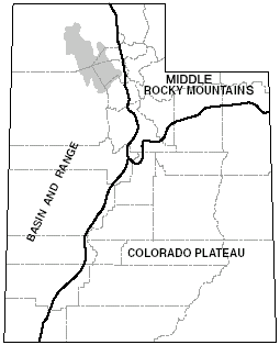
Select the Wasatch Mountain Range.
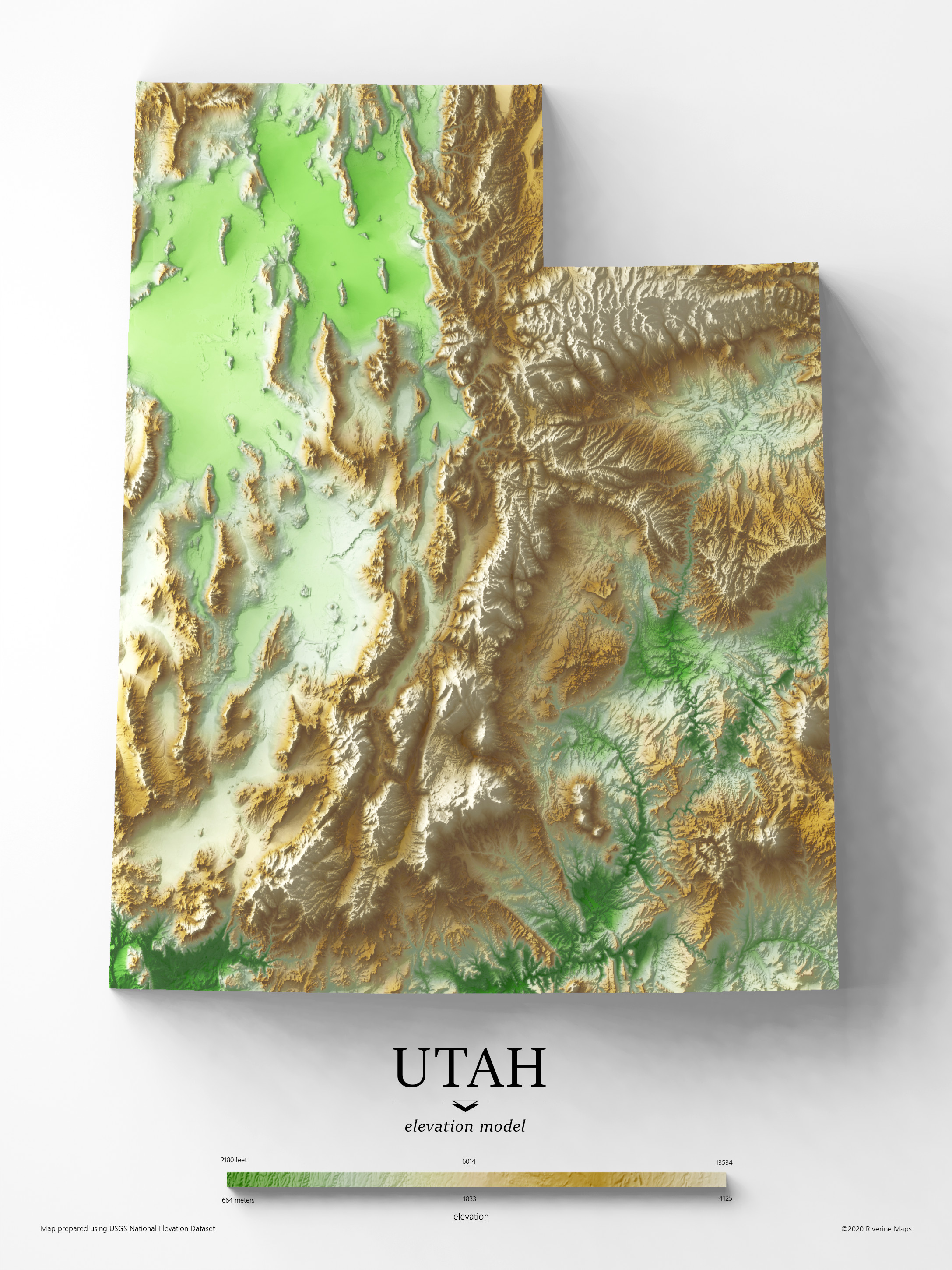
Select the Uinta Mountain Range.