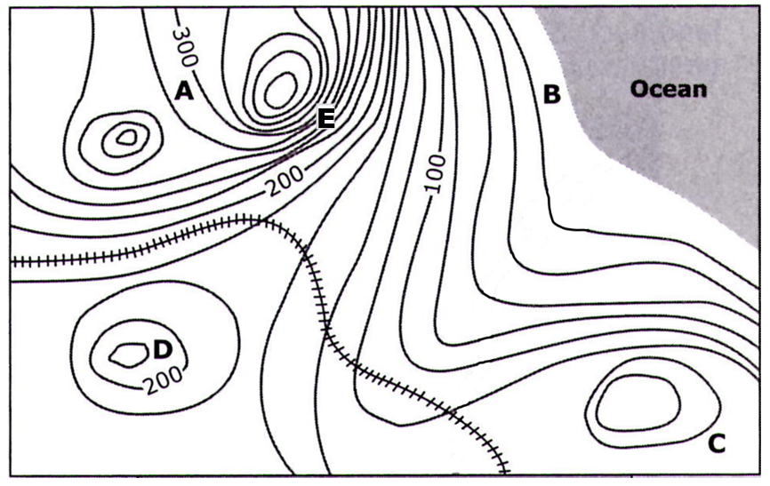
A topographic map for a small island in the Pacific Ocean appears below. All elevations are recorded in meters.

What is the contour interval on this map? Be sure to include the correct units.
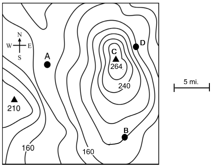
A topographic map for a small island in the Pacific Ocean appears below. All elevations are recorded in meters.
What is the contour interval on this map? Be sure to include the correct units.