Drag and drop each terrain feature to the correct location using the grid coordinates provided.
Mmuae Afoforo a Wobɛpaw:
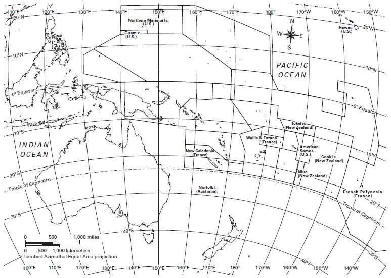
Great Dividing Range (28°S, 150°E)
Vinson Massif (78°S, 85°W)
Weddell Sea (73°S, 40°W)
North Island (38°S, 176°E)
Mt. Wilhelm (6°S, 145°E)
Ross Sea (74°S, 180°)
Great Sandy Desert (19°S, 123°W)