Ɛhia
1
This document is considered what type of source?
This document is considered what type of source?
Complete the quiz to the best of your ability. Read each questions carefully.
This document is considered what type of source?

This document is considered what type of source?
Graphs...
Maps...
Charts...
What term is the precise point where a place is located on Earth
What term is where a place is located in relation to another place on Earth
The 0 degree line of longitude that divides the Eastern and Western Hemispheres is...
Imaginary lines that run from the North Pole to the South Pole are..
Imaginary lines that run parallel to the equator are
A myth is..
Which is NOT one of the 5 Characteristics of a Civilization
Which Ancient Civilization is depicted on the map?
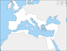
Which Ancient Civilization is depicted on the map?
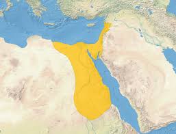
Which Ancient Civilization is depicted on the map?
Which Ancient Civilization is depicted on the map?
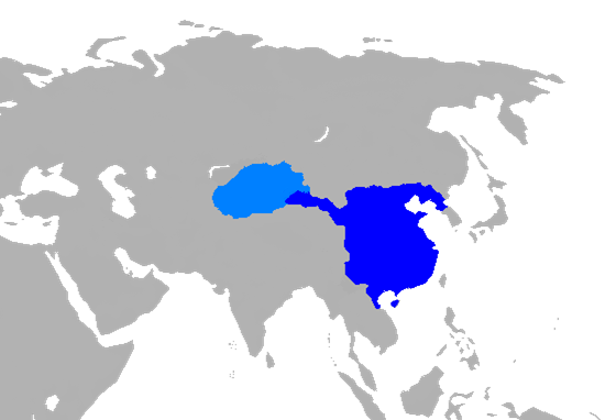
Which Ancient Civilization is depicted on the map?
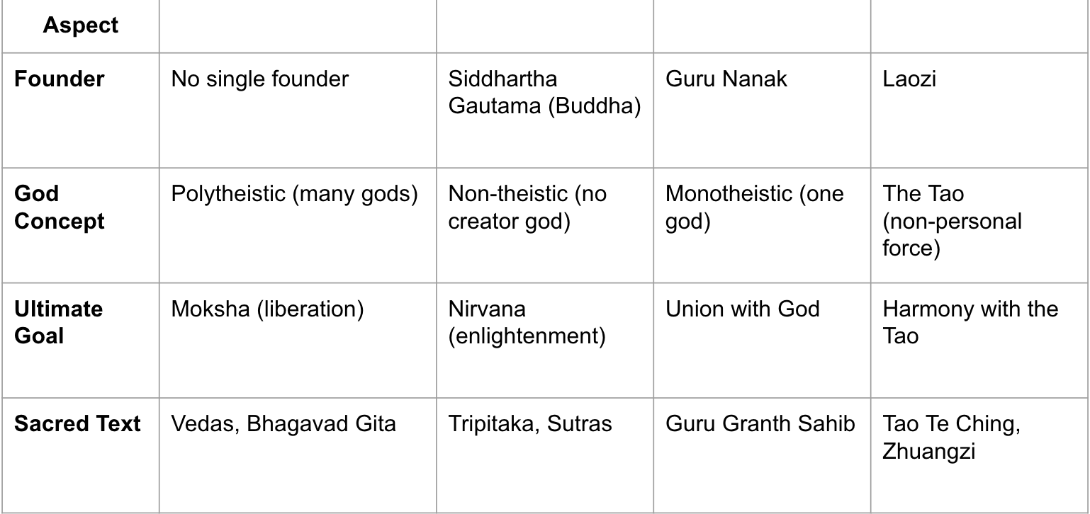
Which religions in this column referring to?
Which religions in this column referring to?
Which religions in this column referring to?
Which religions in this column referring to?
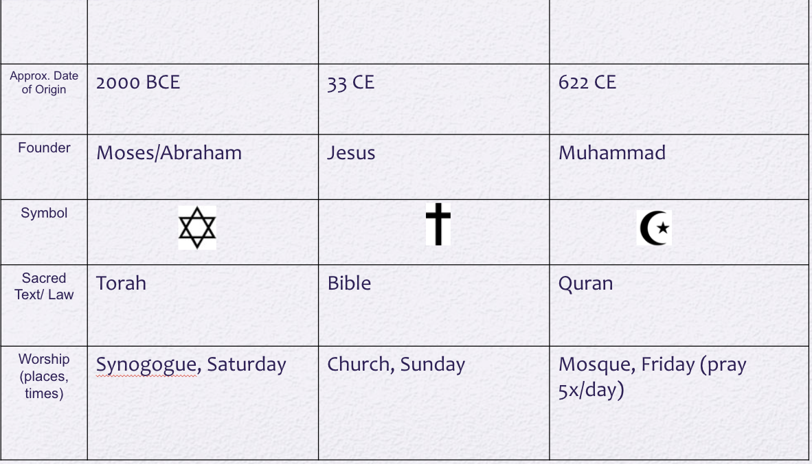
Which religions in this column referring to?
Which religions in this column referring to?
Which religions in this column referring to?
Labels Oceans/Bodies of Water
ATL. Ocean
PAC. Ocean
IND. Ocean
ART. Ocean
SOUTH Ocean
MED. Sea
CAR. Sea
Label the Continents Using the Following Labels:
EUR (Europe)
N. AMER (North America)
S. AMER. (South America)
AUST. (Australia)
AFR. (Africa)
ASI. (Asia)
ANT. (Antarctica)
Label the Countries Using the Following Labels:
USA
UK (England)
FRAN. (France)
SPA. (Spain)
IND. (India)
RUSS. (Russia)
CHI. (China)
Label the FOUR Cardinal directions on the Compass' main points.
Highlight the following:
30 degree West line of Longitude YELLOW
60 degree North line of Latitude GREEN
Label the Following:
EH (eastern Hemisphere)
WH (western Hemisphere)
NH (Northern Hemishphere)
SH (southern hemisphere)
Identify the following Rivers:
MISS. (mississippi river)
NILE (nile river)
AMAZ (amazon river)
GANG (ganges river)
CON (congo river)