Cenotes of the Yucatán Peninsula
The Yucatán Peninsula, roughly 181,000 square kilometers in area, is in southeastern Mexico. It is surrounded by the Gulf of Mexico on one side and the Caribbean Sea on the other. Although it is a flat area with no large mountains or valleys, it is home to an interesting geologic feature—a type of sinkhole called a cenote (pronounced suh-NO-tay).

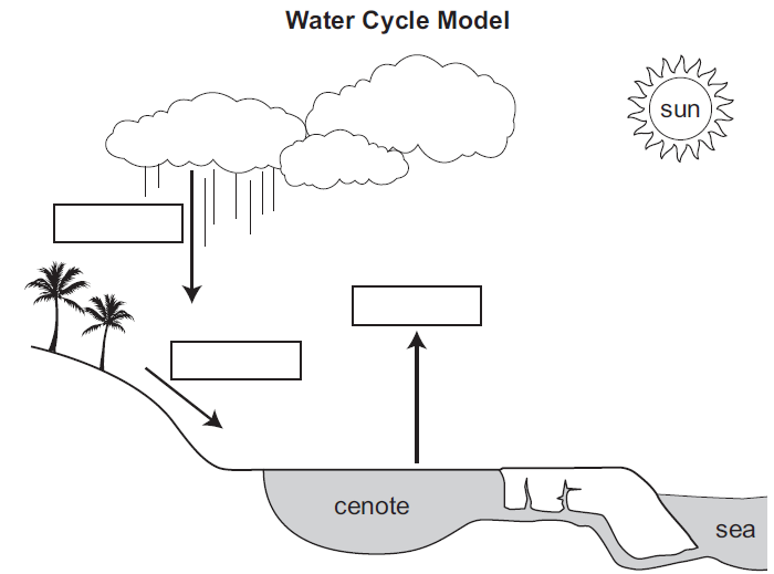
Cenotes are underground caves filled with water. The Yucatán Peninsula’s crust is composed mainly of limestone, formed by the accumulation of marine fossils that were composed of calcium carbonate. Rainwater seeps through the soil and collects in openings in the limestone. As the water dissolves the limestone, the openings become larger, leading to unstable areas in the landscape. Eventually, the soil above collapses and a sinkhole forms. Some cenotes are shallow while some are up to 50 meters deep, collecting water and filling to form underground pools and rivers.
The Yucatán Peninsula has one of the most extensive underground cave and sinkhole systems in the world. A specialized area of the Yucatán cenotes is called the Ring of Cenotes. This stretch of cenotes is in the shape of a semicircle in the area of the Chicxulub Crater. This crater is the site of the largest asteroid impact on Earth and may be the cause of the dinosaur extinction roughly 66 million years ago. It was first discovered as scientists were analyzing satellite images of the region. Much of the Chicxulub Crater topography is unknown because it remains buried below ground.

Cenotes that are near the coast are unique because they have both freshwater and saltwater, creating a layer between the two called a halocline. The freshwater in cenotes is a valuable source of water for local inhabitants, as the Yucatán Peninsula has varying periods of rain, followed by drought. Ancient Mayan settlements needed access to freshwater, and many of their cities, including the famous Chichen Itza, were built around these natural wells.

Mexico’s Ministry of Environment and Natural Resources estimates that 80% of the 6,000 cenotes found in the Yucatán Peninsula are contaminated. An increase in tourism to the area has caused a construction boom which destroys the mangrove population. The root structures of mangrove forests live in the water systems of the Yucatán and are an important natural filter. When they are removed, human waste, sewage, and chemicals cannot be naturally removed. These pollutants gradually seep into the cenotes and contaminate them.